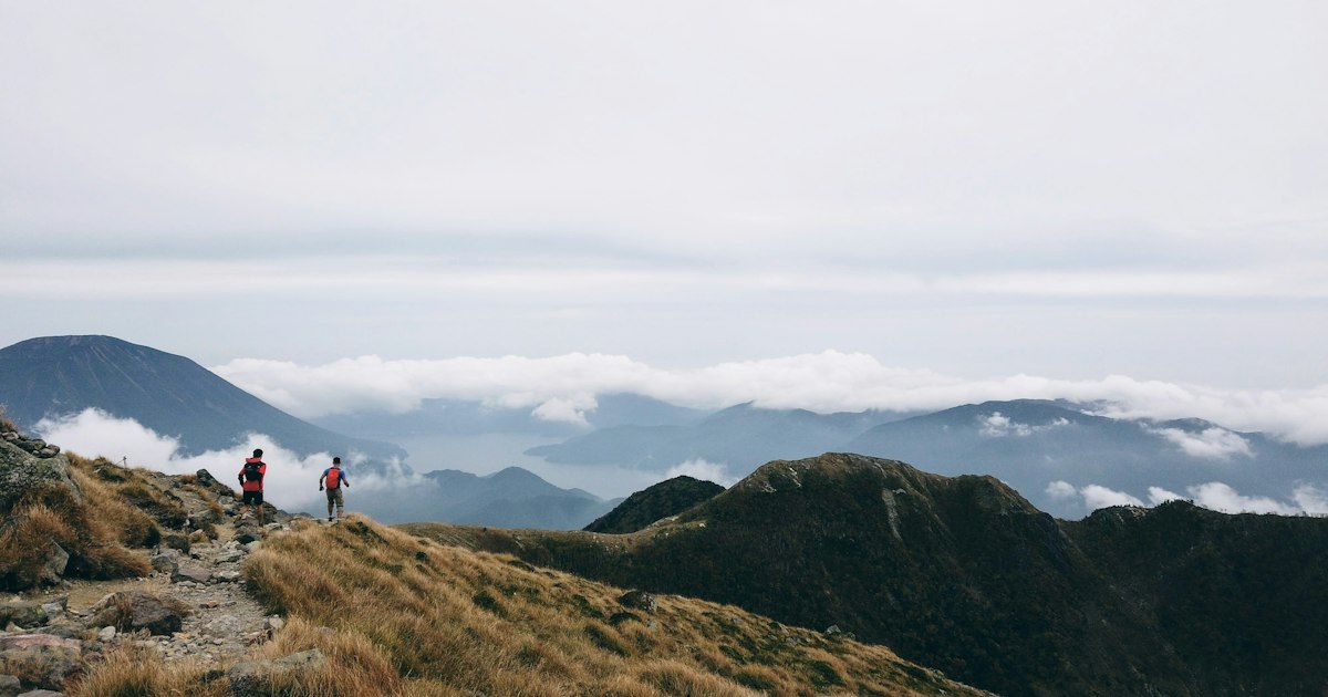
If you spend a Saturday morning at any trailhead in Japan — Mt. Takao, Mt. Fuji’s fifth station, the ridgelines above Kamikochi — you’ll notice almost every hiker checking the same app before they start walking. It isn’t Google Maps. It’s YAMAP, a Fukuoka-made hiking app that has quietly become the default navigation and safety tool for Japanese hikers and trail runners. Foreign visitors rarely hear about it before their trip, which is a shame, because it solves a very specific problem: Japan’s mountains have almost no cell signal, and most mapping apps are useless the moment you lose it.
What Makes YAMAP Different From Google Maps or AllTrails
YAMAP’s core trick is that it tracks your position using your phone’s built-in GPS chip, not your data connection. GPS satellites work fine deep in a valley with zero bars of signal — what you actually need is a map that’s already stored on your phone. YAMAP lets you download detailed topographic maps for specific mountain areas while you still have Wi-Fi or data, then switch your phone to airplane mode (saving battery) and keep tracking your route, elevation, pace, and distance with no connection at all.
AllTrails works similarly in theory, but its Japan trail coverage is thin and the user-submitted data is sparse. YAMAP’s entire user base is Japanese day-hikers and trail runners, so the trail network, estimated hiking times, and real-time conditions are far denser and more current for Japanese mountains specifically.
Setting It Up Before You Leave Cell Service
Download the app (iOS/Android, free) and create an account before you leave your hotel or the airport — it’s available in English, which is a relatively recent and welcome addition for inbound visitors. Search for your destination mountain or trail by name, and look for the “download map” or offline map option for that area. Do this over hotel Wi-Fi the night before; trailhead parking lots and station platforms often still have decent signal, but ravines and ridgelines an hour in usually won’t.
A common mistake is assuming you’ll just download the map once you’re near the trailhead. Many trailheads — especially for Mt. Fuji’s Yoshida, Fujinomiya, Subashiri, and Gotemba routes, or anything in the Japanese Alps — are already in dead zones by the time you arrive. Download at the hotel, the konbini, or on the train in.
Reading Trail Reports Like a Local
The feature that actually makes YAMAP worth using isn’t the map — it’s the activity log feed. Every hiker who finishes a route can post their recorded track along with photos, notes, and timestamps. Before you set out, you can search recent activity on your exact trail and see, often from the same week, whether there’s snow on a pass, a bridge washed out, a bear sighting, or whether the azaleas or autumn leaves are actually out. For trails that change seasonally — river crossings, snowfields on Fuji in early July, typhoon damage in September — this is more reliable than any official website, because it’s dated and photographed by someone who was there days ago.
This is also how you get realistic time estimates. Japanese trail signage often gives conservative times aimed at the average hiker; the app’s aggregated data from thousands of recorded hikes gives you a more honest range for your own pace.
Safety Features Worth Turning On
Japan takes mountain safety seriously, partly because rescue costs and search operations for missing hikers are a real and recurring issue. YAMAP has two features visitors should actually use:
- Tozan todoke (climbing plan submission): for many popular mountains, you can file a simple hiking plan through the app — which route, which date, when you expect to finish — that’s shared with local safety authorities and can be checked against if you’re overdue.
- Location sharing / “mikake” tracking: you can let a friend or family member follow your live position on a web link, so someone off-mountain knows where you are without needing the app themselves.
Neither replaces common sense — tell a human your plan too, carry a paper map as backup, and don’t rely on your phone’s battery lasting all day in cold weather.
Best Seasons and Trails to Try It On
For a first outing, Mt. Takao near Tokyo is the easiest test case: well-marked, short, and reachable via the Keio Line from Shinjuku. If you’re using the JR Tokyo Wide Pass for day trips, the Fuji Five Lakes area and Nikko’s lower trails both have decent YAMAP coverage and make a good pairing with the pass’s 3-day window. Fuji’s official climbing season runs roughly early July through early September; outside that window the mountain huts close and conditions turn genuinely dangerous, so the app’s season-specific trail reports matter even more.
Midsummer hiking anywhere below the alpine zone means starting at dawn — Japan’s July and August heat warnings are not exaggerated, and it’s worth reading our guide on Japan’s extreme heat warnings before planning a midday ascent. Spring (April–May) and autumn (late October–November) are the most comfortable windows for most day hikes, and also when the trail-report feed is busiest with photos, so you’ll get the best real-time intel.
Common Mistakes Foreign Visitors Make
- Not downloading the offline map in advance — the single most common failure, usually discovered only once it’s too late to fix.
- Underdressing for elevation — a sunny Tokyo morning can mean near-freezing wind on a ridge an hour’s climb up. Layering with something like Uniqlo HeatTech under a windproof shell is a cheap, packable fix many visiting hikers overlook.
- Trusting old reviews over recent activity logs — a five-year-old blog post about a trail is far less useful than a YAMAP report from last weekend.
- Draining the phone battery — leaving data/Wi-Fi searching on burns battery fast even with no signal; switch to airplane mode once your map is downloaded.
Free vs Premium: Do You Need to Pay
The free tier covers everything a visiting day-hiker actually needs: offline maps, GPS tracking, activity recording, and the trail report feed. YAMAP PREMIUM, a paid annual subscription, adds things like broader offline map storage, ad removal, and some extended trail-condition detail — genuinely useful for frequent Japan-based hikers, but not something a short-term visitor doing a handful of day hikes needs to bother with. Try the free version first; if you end up hiking in Japan more than once or twice, the premium tier is a small, worthwhile upgrade.
Whether you’re doing a single Mt. Takao morning between city sightseeing or stringing together a multi-day Alps itinerary, the habit worth building is simple: download the map before you leave signal, check the recent activity log before you commit to a route, and let someone know your plan. That’s the whole reason an entire country of hikers switched to this one app.