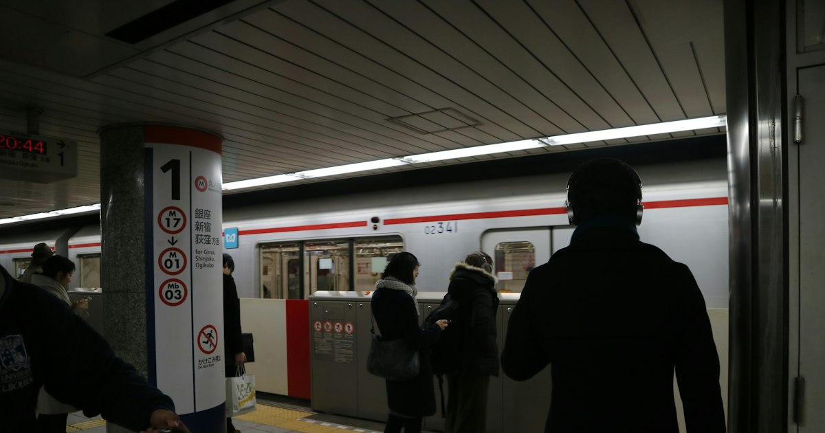
Photo by Joan Tran on Unsplash
Ask any Tokyo commuter how they check their train and you’ll rarely hear “Google Maps.” They’ll say “Norikae Annai” or “NAVITIME” — two apps that have quietly run Japan’s daily commute for over a decade. Google Maps is perfectly usable for a first trip to Japan, and it’s fine for simple point-to-point walking directions. But for the dense, multi-operator rail networks of Tokyo and Osaka, it misses details that locals rely on every single day. If you’re planning more than a few train rides, it’s worth having one of these apps installed alongside Google Maps.
Where Google Maps Falls Short in Japan
Google Maps’ transit data in Japan is licensed from third-party providers and updated on a schedule that doesn’t always keep pace with Japan’s famously complex private-rail ecosystem. In cities where JR, a municipal subway, and two or three private railways all converge at one station — Shinjuku, Namba, Umeda — Google Maps sometimes suggests transfers that technically work but aren’t the fastest or cheapest, and it rarely tells you which train car to stand near for the shortest walk to your connecting platform.
It also tends to lag on real-time service disruptions. A signal failure on the Tokyu Toyoko Line or a typhoon-related suspension on a rural JR branch line will usually show up in Yahoo! Norikae Annai or NAVITIME within minutes, pulled directly from the operators’ own service-status feeds, well before it’s reflected in Google’s data.
Yahoo! Norikae Annai: The App Locals Open First
Yahoo! Norikae Annai (Yahoo!乗換案内) is a free app from Yahoo Japan, and it’s arguably the single most-used transit app in the country. The interface is Japanese-only, but station names are written in a mix of kanji and numerals that are easy to pattern-match even if you can’t read them — and most input fields let you type in Roman letters (romaji) to search for station names.
What makes it indispensable to locals is the level of detail in each route result: exact platform numbers, the number of the train car (号車) that lines up best with the stairs or escalator at your transfer station, and separate fare totals for IC card (Suica/Pasmo) versus paper ticket, since IC fares are usually a few yen cheaper per ride. It also has a dedicated first-train/last-train (始発・終電) search, which matters more than it sounds — many lines stop running shortly after midnight, and missing the last train can mean an expensive taxi back to your hotel.
NAVITIME: Built for Commuters, Adapted for Visitors
NAVITIME’s core Japanese app works similarly to Norikae Annai, but the company also publishes a separate app, “Japan Travel by NAVITIME,” built specifically for foreign tourists, with a full English interface. It includes a route filter that shows only Japan Rail Pass-eligible trains (useful since the pass excludes the fastest Nozomi and Mizuho Shinkansen), offline map downloads for areas with weak signal, and curated sightseeing and restaurant data layered onto the transit search.
NAVITIME is also generally stronger than Google Maps for bus timetables outside major cities — useful if you’re heading somewhere like a rural onsen town or a coastal fishing village where the train line ends and a local bus is the only way to finish the trip.
Features Worth Switching Apps For
- Train car positioning: Both apps tell you which car to board so you exit right next to the stairs, elevator, or your transfer platform — a genuine time-saver at sprawling stations like Shinjuku or Osaka’s Umeda/Namba complex.
- IC card fare display: Fares shown separately for Suica/Pasmo vs cash tickets, so you know exactly what to expect when you tap through the gate.
- Faster disruption alerts: Delay and suspension notices sourced directly from rail operators, often appearing well before Google Maps reflects them.
- Train type sorting: Clear distinction between local (各駅停車), rapid (快速), and limited express (特急) services, so you don’t accidentally board the slow train when a faster one leaves two minutes later from the same platform.
- Rural bus and ferry timetables: Better coverage than Google Maps for connections in smaller towns and islands.
Common Mistakes Foreign Visitors Make
The most common mistake is trusting Google Maps’ last-train time without double-checking — if you’re out late in a nightlife district and your phone says you have ten minutes to spare, verify it in Norikae Annai or NAVITIME first, since last-train schedules shift seasonally and by station exit. The second is ignoring the car-number feature and ending up at the far end of the platform from your transfer, adding several minutes at busy stations. Third, travelers using a Japan Rail Pass sometimes let an app route them onto a faster but pass-excluded Shinkansen, only to be charged the fare difference at the gate — NAVITIME’s JR Pass filter avoids this entirely.
If you’re navigating Kansai specifically, it also helps to know which operator actually serves your destination before you even open an app, since JR, Nankai, and Osaka Metro overlap heavily around Namba — our guide to Osaka Metro vs Nankai vs JR from Namba breaks down which line is actually fastest and cheapest for common day trips.
Setting Up Before You Arrive
Download both apps before your trip — Yahoo! Norikae Annai for the car-positioning and fare detail, Japan Travel by NAVITIME for English-language usability and JR Pass filtering. Load an IC card onto your phone via Apple Pay or Google Pay if your device supports it; it’s the fastest way to tap through gates without fumbling with a physical card. If your phone can’t do mobile IC, pick up a Welcome Suica at the airport — it requires no deposit and is valid for 28 days, though any remaining balance isn’t refundable when it expires.
A local SIM or pocket Wi-Fi is worth having regardless of which app you use, since both rely on live data for accurate delay information and neither works well fully offline in a city as dense as Tokyo.
When Timing Really Matters
These apps earn their keep most during high-traffic travel windows: cherry blossom season in late March to early April, Golden Week in early May, and the New Year holidays, when trains run on modified schedules and seat reservations for limited express and Shinkansen services sell out fast. If you’re chasing an early bloom, for instance, a rural single-track line like the one to Kawazu for its famous early cherry blossoms runs far less frequently than city lines, and Norikae Annai’s precise departure times matter a lot more there than they would on the Yamanote Line. The same goes for scenic local lines like the Enoden heading toward Kamakura’s hydrangea season, where trains can be short and infrequent during peak bloom weekends.
Neither app costs anything to download or use beyond your normal data charges, so there’s no real downside to running Google Maps for walking directions and restaurant searches while letting a Japan-specific app handle the actual train routing. Once you’ve used the car-number and fare-comparison features once, it’s hard to go back.